



C-Map Charts and Maps
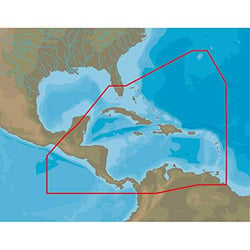
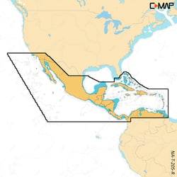
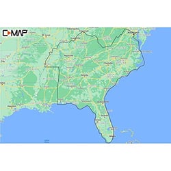
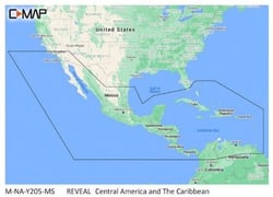
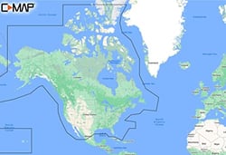
C-Map M-NA-Y200-MS Discover North America Marine Chart with 12-Month Updates
C-MAP Charts & Maps: Precision Navigation for Every Waterway
C-MAP stands among the most trusted names in marine cartography, and for good reason. Charts and maps are the brand's core business — the product of decades of dedicated expertise. Founded in Italy in 1985, C-MAP has spent over 35 years refining what a navigational chart can and should do for boaters, anglers, and sailors alike.
What sets C-MAP apart in the charts and maps category is the depth and integrity of its underlying data. C-MAP navigation charts are built around three principles: precision, clarity, and quality. Rather than relying on a single data source, C-MAP draws from NOAA data, official Hydrographic Office surveys, proprietary team lake surveys, and crowd-sourced community data through the Genesis® Social Map network — all quality-controlled by in-house experts before it reaches your chartplotter.
C-MAP Chart Product Lines
C-MAP offers a tiered lineup of chart products designed to suit different boating needs and compatible hardware platforms:
- DISCOVER® X — The latest generation of the DISCOVER line, featuring full-featured vector charts, High-Res Bathymetry (HRB) down to 1-foot contour detail, Custom Depth Shading, Tides & Currents data, and subscription-free Autorouting, plus 12 months of free online updates.
- REVEAL® X — C-MAP's flagship chart tier, which builds on DISCOVER X by adding Shaded Relief and Satellite Overlay for a richly immersive view of the seafloor and surrounding terrain. The "Reveal" layer renders reefs, rocks, and underwater structure in colorized 3D.
- DISCOVER® and REVEAL® — The previous generation of these core chart lines, offering the same trusted data and key features for a wide range of compatible MFDs.
- 4D — A versatile chart format that includes full-featured vector charts, raster charts, high-resolution coastal bathymetry, and automatic routing, compatible with a broad range of chartplotter hardware including Raymarine Axiom and Element-series displays.
- MAX / MAX-N+ — Legacy chart cards that bring detailed harbor charts, dynamic raster charts, high-resolution satellite imagery, sport fishing data, and C-Marina port information to compatible Navico family chartplotters.
Key Technologies That Define C-MAP Charts
Across all product tiers, several C-MAP technologies consistently stand out for navigators:
- High-Resolution Bathymetry (HRB): Contour detail down to the 1-foot level, incorporating Genesis® crowd-sourced data and C-MAP Team Lake Surveys, making it exceptionally valuable for anglers targeting drop-offs, ledges, and humps.
- Easy Routing / Autorouting: Automatically plots the shortest, safest route based on detailed chart data and your vessel's profile, flagging potential hazards like shoals, sandbars, and submerged rocks — always subscription-free on compatible charts.
- Custom Depth Shading: Lets you assign your own color schemes to specific depth ranges, so productive structure pops off the display at a glance.
- Tides & Currents: Provides projected water level, tide direction, and current strength using color-coded arrows and graphs — critical for passage planning and safe anchoring.
- Genesis® Social Map Integration: Community-sourced 1-foot depth contours from waters the Genesis community has mapped, quality-controlled and fully integrated into the chart data.
Device Compatibility
C-MAP chart cards are compatible with a wide range of leading chartplotter brands. The X-Generation charts (DISCOVER X and REVEAL X) offer seamless integration across MFDs, mobile apps, and web — including the Simrad® and B&G® Companion Apps — so your chart data travels with you from the helm to your phone. 4D cards are also widely supported by Furuno NavNet and TIMEZERO navigation solutions, as well as Raymarine and Lowrance platforms.
Whether you're a weekend cruiser, a freshwater tournament angler, or an offshore sailor, C-MAP's charts and maps deliver the detail, accuracy, and confidence you need on any body of water.