



C-Map

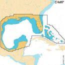
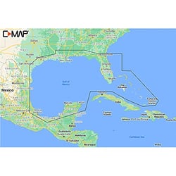
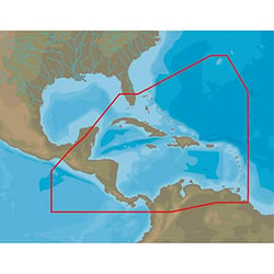
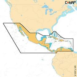
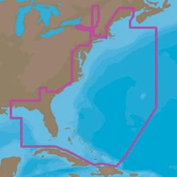
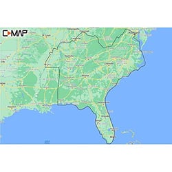
C-Map M-NA-M022-MS Max Wide U.S. East Coast & Bahamas SD Marine Chart Card
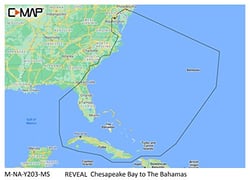
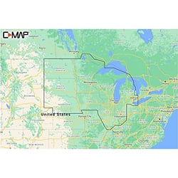
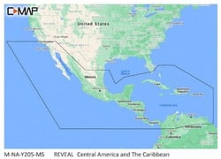
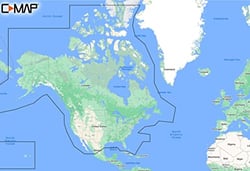
C-Map M-NA-Y200-MS Discover North America Marine Chart with 12-Month Updates
C-MAP: Setting the Standard in Marine Navigation
When it comes to knowing exactly where you are on the water, the quality of your chart matters as much as the quality of your chartplotter. C-MAP has spent more than three decades building a reputation as one of the world's most trusted names in marine cartography. Founded in Italy in 1985, C-MAP has a proven track record in mapping and services for all types of marine customers — from weekend lake anglers to long-haul commercial mariners.
C-MAP delivers navigational marine charts with top-quality global data for lakes, coastlines and oceans, giving boaters the confidence to explore wherever the water takes them. Using NOAA and Hydrographic office data, alongside their own survey and crowd-sourced data — uniquely quality-controlled by experts — boaters can always expect advanced navigational tools from C-MAP.
A Legacy of Precision Cartography
C-MAP is one of the very first digital cartography brands on the market, and that pioneering spirit has never faded. With more than 50 chartplotter and navigation software manufacturer partners worldwide, C-MAP serves the recreational marine, commercial shipping, professional fishing, military, and aviation markets. Their charts and maps span everything from familiar coastal waterways to remote inland lakes, all built on a foundation of rigorous data standards.
C-MAP navigation charts are built around three key principles — precision, clarity, and quality — with each chart loaded with data from multiple sources, frequently updated and quality checked by experts. That commitment to accuracy is what has made C-MAP the default choice for boaters who won't compromise on situational awareness.
Electronic Charts for Modern Chartplotters
Today's boaters increasingly rely on electronic charts loaded onto multifunction displays and dedicated chartplotters. C-MAP has led this evolution from the start. C-MAP MAX electronic charts have been a worldwide standard for years, providing cruisers, sailors and fishermen with the accurate, up-to-date chart data they need to enjoy each day on the water.
Their newest chart lines push the technology even further. C-MAP DISCOVER X delivers full-featured vector charts, high-resolution bathymetry, custom depth shading, and app integration, while REVEAL X adds shaded relief and satellite imagery. Rich features include Custom Depth Shading, Tides & Currents, and subscription-free Autorouting, plus 12 months of free online updates.
Genesis: Community-Powered Lake Mapping
One of C-MAP's most innovative offerings is the Genesis platform. C-MAP Genesis is a free, global, online collection of inland and coastal charts generated by the Lowrance, Simrad Yachting, and B&G communities of fishing, cruising, and sailing enthusiasts. The Genesis platform enables curated community-sourced maps and the ability to create and store your own maps with 1-foot contours — a game-changer for freshwater anglers hunting structure in unfamiliar lakes.
Whether you're navigating a busy coastal shipping lane or quietly working a bass cove at first light, C-MAP delivers the detail and dependability that keeps every voyage on course.