



C-Map Electronic Charts

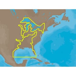
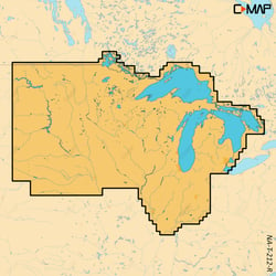
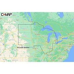
C-Map NA-M023SDCARD Marine Navigation Chart - Gulf Coast, Great Lakes & Inland Rivers
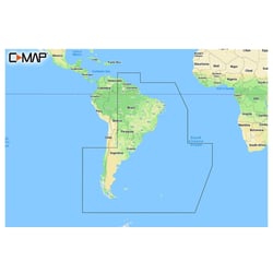
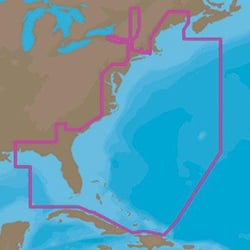
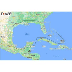
C-Map M-NA-M022-MS Max Wide U.S. East Coast & Bahamas SD Marine Chart Card
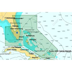
 Representative Photo, actual item may vary
 Representative Photo, actual item may vary
 Representative Photo, actual item may vary
 Representative Photo, actual item may vary
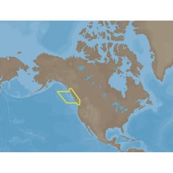
C-Map M-NA-D958-MS 4D Marine Navigation Chart Queen Charlotte Sound to Dixon Entrance
 Representative Photo, actual item may vary
 Representative Photo, actual item may vary
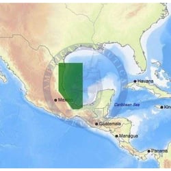
C-Map M-NA-D954-MS 4D Electronic Navigation Chart Cape Blanco to Cape Flattery
 Representative Photo, actual item may vary
C-MAP Electronic Charts: Precision Navigation for Every Boater
C-MAP has been one of the most trusted names in marine cartography for over 35 years, and their Electronic Charts lineup reflects decades of refinement in data accuracy, chart presentation, and on-water usability. Whether you fish inland lakes, cruise coastal waters, or make open-ocean passages, C-MAP's chart portfolio is engineered to match the demands of virtually any boating scenario.
A Chart Line for Every Mission
C-MAP organizes its electronic charts into distinct tiers, each designed to address different budgets and use cases. DISCOVER serves as the feature-rich entry point, delivering REVEAL builds on that foundation by adding the brand's signature Shaded Relief layer — a game-changing visualization that brings the seafloor to life with colorized 3D rendering of reefs, wrecks, and underwater structure. At the top of the consumer lineup, REVEAL X pairs all of those capabilities with seamless integration for Simrad and B&G multifunction displays, plus 12 months of free online updates.
For professional and commercial mariners, C-MAP Professional+ is a global vector chart database built for use in ECDIS and ECS systems, updated continuously with Notices to Mariners from national Hydrographic Offices worldwide.
What Sets C-MAP Charts Apart
- Official Hydrographic Office sourcing: C-MAP electronic charts draw on NOAA data and international Hydrographic Office charts, ensuring chart data is officially sourced and regularly updated.
- High-Resolution Bathymetry (HRB): Contour lines accurate down to the 1-foot level help anglers and divers pinpoint drop-offs, ledges, holes, and humps with precision.
- Easy Routing: The automated routing engine plots the shortest, safest course between two points while flagging hazards like shoals, submerged rocks, and sandbars along the way.
- C-MAP Genesis® Integration: C-MAP's crowd-sourced Genesis Social Map platform lets the Lowrance, Simrad, and B&G communities contribute sonar data to build 1-foot contour maps of waters that official government surveys have never fully captured.
- Tides & Currents: Tide level graphs and current flow arrows give sailors and anglers the time, direction, and strength of water movement — critical data for both safety and strategy.
- Satellite Imagery & Port Plans: Overlay high-resolution satellite photos and access detailed marina layouts, including slip locations, fuel docks, and pump-out stations.
- Broad Chartplotter Compatibility: C-MAP charts integrate with the leading marine electronics platforms, including Simrad, Lowrance, B&G, Raymarine, and Furuno NavNet systems.
Coverage Built for Global Explorers
C-MAP chart coverage spans local, wide, mega-wide, and continental formats, giving boaters the flexibility to buy exactly the coverage area they need. Charts are available on SD cards for chartplotters and as digital downloads compatible with the C-MAP mobile app, so your navigation data is always accessible whether you're at the helm or planning your next trip from the dock.