
Humminbird Fishfinders, GPS & Chartplotters

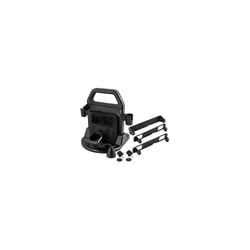
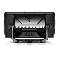
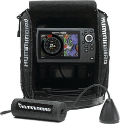
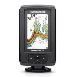
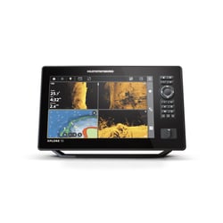
Humminbird 412010-1 XPLORE 10 CMSI+ Fish Finder with 10" Touchscreen Display
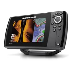
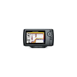
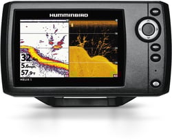
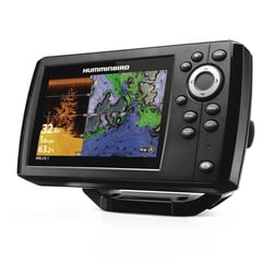
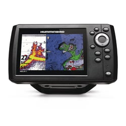
Humminbird 4119301 HELIX 7 G4 SI CHIRP Fishfinder GPS Chartplotter with MEGA Imaging
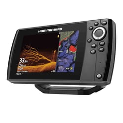
Humminbird Fishfinders, GPS & Chartplotters: Sonar Technology That Finds More Fish
Humminbird has earned its reputation as a leader in fishing electronics by consistently pushing the boundaries of what anglers can see beneath the surface. Widely regarded as America's favorite fishfinder, Humminbird has introduced ground-breaking technologies such as MEGA Live 2 Forward Facing Sonar, MEGA 360 Imaging, Side Imaging, Down Imaging, CHIRP Digital Sonar, and integrated GPS navigation capabilities. The result is a lineup of fishfinders, GPS units, and chartplotters that serves everyone from weekend bass anglers to tournament professionals.
Three Series, One Mission: Put You on Fish
Humminbird's fishfinder and chartplotter lineup is organized around three core series, each targeting a different level of angler and boat setup.
- HELIX Series: The HELIX series provides versatility with models suitable for both freshwater and saltwater fishing, featuring CHIRP sonar, GPS mapping, and imaging options such as Down Imaging and Side Imaging — combining ease of use with advanced capabilities for everyday anglers. Compact HELIX models are well-suited for smaller boats and kayaks.
- SOLIX Series: The SOLIX series packs in MEGA Imaging, a Cross Touch interface, AutoChart Live, networking capability, and Bluetooth connectivity for seamless connection to Minn Kota i-Pilot Link, CHIRP Radar, and more. Fresh or saltwater, built-in NMEA 2000 and Ethernet allow anglers to build a robust marine navigation system including Humminbird radar, AIS, and AutoPilot.
- APEX Series: The premium APEX series caters specifically to professional anglers and competitive tournament fishermen. Glass-bonded displays are optimized for bright sunlight and glare-free viewing, and every APEX includes LakeMaster® and CoastMaster® VX mapping cards covering over 13,000 lakes, waterways, and coastal waters right out of the box. APEX is equipped with industry-leading MEGA Side Imaging+® and MEGA Down Imaging+® for photo-like structure scanning, and is compatible with MEGA Live 2 for the most accurate live sonar view available.
Mapping Technology That Goes Where You Fish
Humminbird's internal GPS and Basemap provide a clear view of underwater terrain and surrounding points of interest including buoys, day markers, hazards, marinas, contours, and depth data. For anglers who want to chart unexplored water, AutoChart Live lets you map structure and contours directly on your screen and save them to a microSD card. Units are also compatible with premium Navionics and LakeMaster charts for maximum coverage in both fresh and coastal waters.
A Connected Ecosystem on the Water
Whether you compete in tournaments or fish for fun, Humminbird units deliver superior screen clarity, smart waypoint management, and industry-leading sonar technologies. With Wi-Fi, Ethernet, and Bluetooth interfaces, compatible models can communicate with trolling motors, downriggers, and other Minn Kota and Cannon electronics. This tight integration means less time fiddling with settings and more time casting. For over 40 years, Humminbird has operated with one goal: create difference-making days for anglers out on the water.