



Navionics Charts and Maps

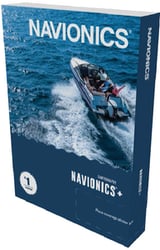
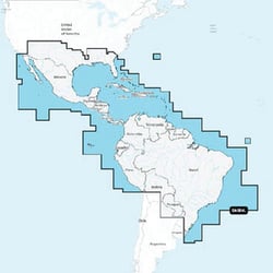
Navionics 010-C1364-30 Mexico Caribbean Brazil Chart Card with SonarChart HD
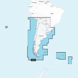
Navionics 010C136530 Navionics+ Digital Marine Chart Chile Argentina Easter Island
 Representative Photo, actual item may vary
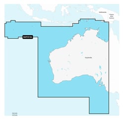
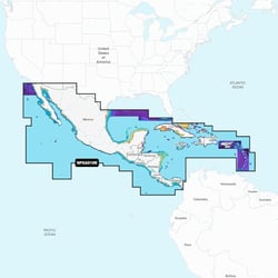
Navionics 010-C1459-40 Platinum+ Central America & Caribbean Marine Chart SD Card
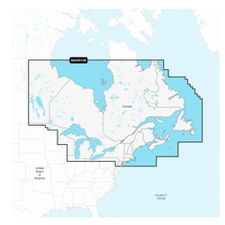
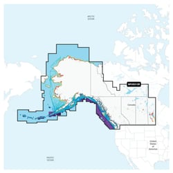
Navionics 010-C1467-40 Platinum+ NPUS013R Canada West & Alaska Marine Chart
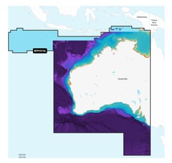
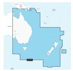
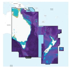
Navionics 010-C1464-30 NAVIONICS+ Australia East & Central to New Zealand Marine Chart
Navionics Charts and Maps: Precision Cartography for Every Waterway
When it comes to on-water navigation, few names carry as much authority as Navionics. Founded in 1984, Navionics introduced the world's first marine electronic chart plotter and has spent four decades refining the science of digital marine cartography. Today, as part of Garmin, the brand continues to set the benchmark for what serious boaters, anglers, and sailors expect from their charts and maps.
Navionics+ and Platinum+: Two Tiers of Coverage
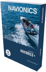
The Navionics family of chart products includes Navionics+ and Platinum+ cartography. Navionics+ provides integrated offshore and inland marine mapping with rivers, bays, and more than 42,000 lakes around the world. These chart cards are an essential upgrade for any chartplotter setup, delivering the kind of accuracy that paper charts simply cannot match.
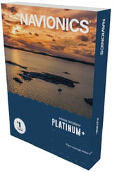
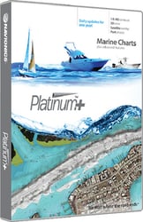
Platinum+ charts include all the content of Navionics+ cartography plus additional viewing options for relief shading, satellite imagery with SonarChart shading. For anglers and coastal explorers who demand the most comprehensive view of the water column and surrounding terrain, Platinum+ represents the top of the Navionics lineup.
SonarChart HD: Unmatched Bottom Detail
One of the most compelling technologies in the Navionics charts and maps lineup is SonarChart. SonarChart HD Bathymetry Maps deliver extraordinary 1-foot (0.5-meter) HD bottom contour detail, making them the ideal tool for locating new fishing areas. SonarChart Live mapping allows boaters to create new personal 1-foot HD bathymetric charts that display in real time on the screens of their compatible plotters while navigating. This crowdsourced, community-driven approach to bottom mapping means the data keeps improving over time.
Daily Updates and Dock-to-Dock Guidance
All new Navionics chart cards include up-to-date maps, access to advanced features like Dock-to-dock Route Guidance, and daily chart updates. Easy access to daily chart updates is available via the Navionics Chart Installer software or wirelessly via the Plotter Sync feature with the Navionics Boating app. Keeping your charts current has never been more straightforward.
Broad Compatibility Across Leading Chartplotter Brands
Navionics cartography is offered in MicroSD card format for the widest range of chartplotter brands on the market today. Compatible with leading chartplotter brands such as Garmin, Raymarine, Simrad, and Lowrance, Navionics charts integrate seamlessly into modern marine electronics systems. Whether you're running a dedicated fishing rig or a blue-water cruiser, there's a Navionics chart card designed to work with your existing hardware.
Regional Coverage for U.S. Waters
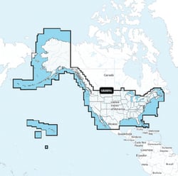
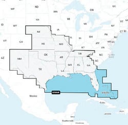
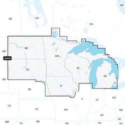
Navionics offers regionally focused chart cards so boaters can choose the coverage that matters most to them. The Navionics+ U.S. and Coastal Canada chart includes detailed coverage of the entire U.S. coasts, lakes, rivers and inland waterways, plus Alaska and Hawaii. Separate regional editions — including U.S. East, U.S. South, and U.S. West — allow mariners to invest in precisely the waters they navigate most.
Whether you're planning an offshore passage, running a local lake for walleye, or navigating a coastal inlet at dusk, Navionics charts and maps give you the confidence that comes from industry-leading data, technology, and a legacy of innovation stretching back over 40 years. Explore the full Navionics brand page or browse our complete selection of Charts and Maps to find the right card for your waters.