


Charts and Maps


 Representative Photo, actual item may vary
 Representative Photo, actual item may vary
Fishing Hot Spots A346 Upper Chesapeake Bay Waterproof Fishing Map - Annapolis to Susquehanna River
 Representative Photo, actual item may vary
Fishing Hot Spots L235 Sturgeon Bay Lake Michigan Fishing Map Door County Wisconsin
- 1
- 2
Navigate with Confidence: Marine Charts & Fishing Maps
Whether you're threading a narrow tidal channel at dusk or trying to pinpoint a productive structure before the bite turns on, the right chart or map can make all the difference between a great day on the water and a dangerous one. Marine charts and fishing maps translate complex underwater terrain, tidal data, and local fishing knowledge into a format you can act on — before you ever leave the dock.
This category spans everything from printed topographic lake maps loaded with GPS waypoints, to digital chart cards for modern fish finders, to classic tide and current reference books that have guided mariners for generations. Whether you fish freshwater lakes, nearshore coastal flats, or bluewater offshore canyons, there's a chart or map designed specifically for your waters.
What to Look for in a Marine Chart or Fishing Map
- Depth contours and bottom structure: Detailed bathymetric data helps you identify drop-offs, humps, channels, and other fish-holding features quickly.
- GPS waypoints: Pre-loaded coordinates for productive spots, boat ramps, hazards, and points of interest save time on the water and reduce guesswork.
- Format compatibility: Digital chart cards must match your chartplotter or fish finder brand and model. Always confirm compatibility before purchasing.
- Coverage area: Regional maps offer more detail for a specific body of water, while coastal charts provide broader coverage for cruising and passage planning.
- Print vs. digital: Printed maps are reliable backups when electronics fail, while digital chart cards integrate seamlessly with your existing navigation equipment.
Top Brands in Charts & Maps
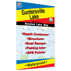
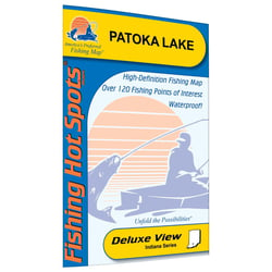
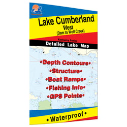
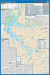
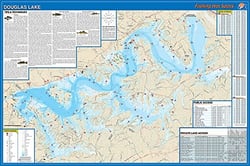
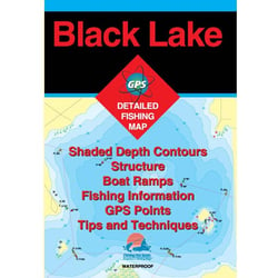
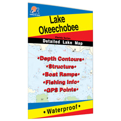
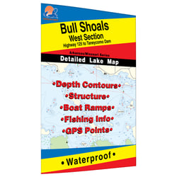
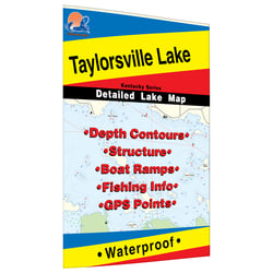
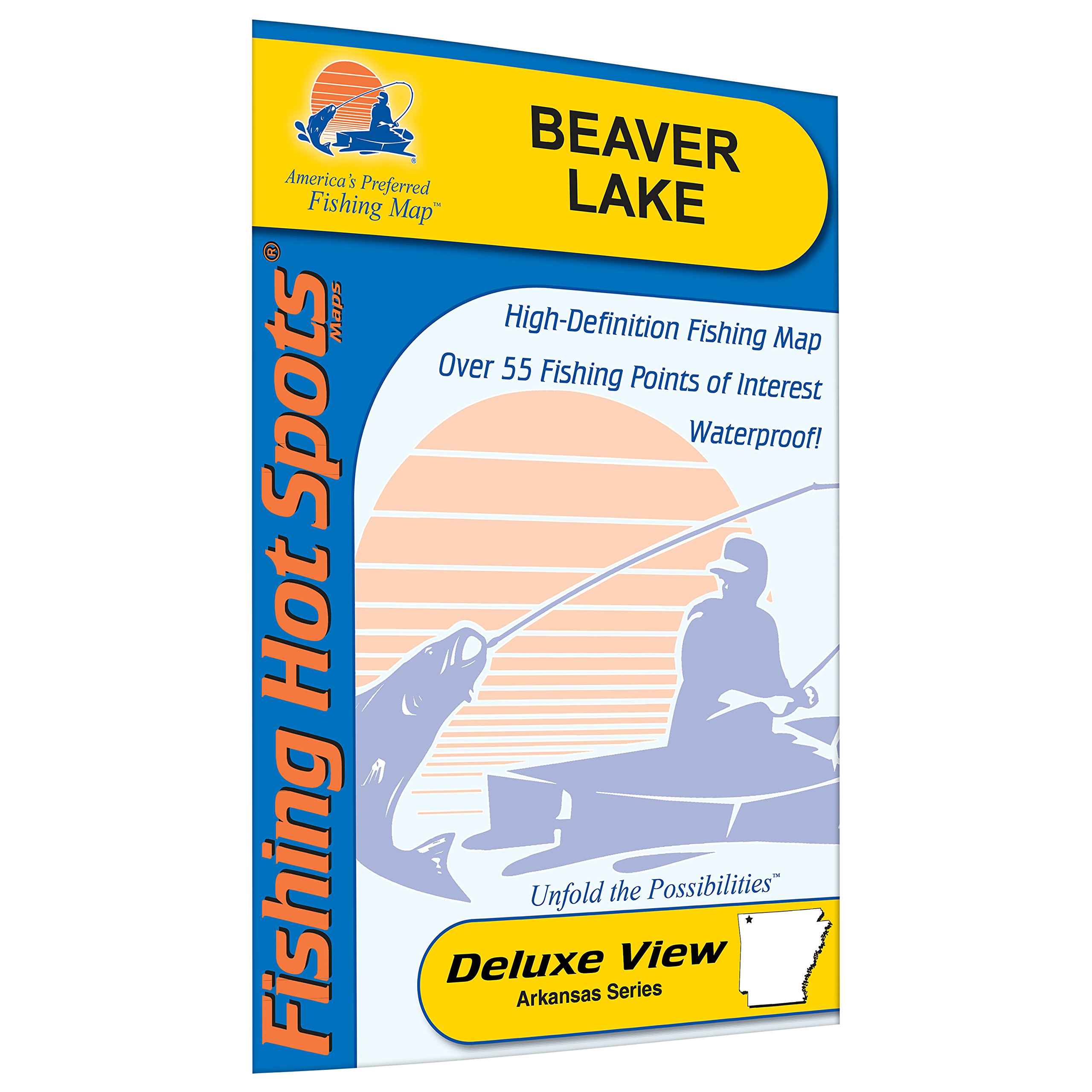
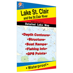
Fishing Hot Spots is one of the most recognized names in freshwater fishing cartography. Each map is thoroughly researched, the information verified, and cartography done digitally with the most current GIS tools — and it's the map successful anglers have asked for by name for more than two decades. Each detailed topo map provides depth, contours, structure, boat ramps, and updated fishing information, with numbered marked fishing areas and a complete lat/long grid with dozens of GPS waypoints. Maps are printed on waterproof, tear-resistant paper , making them a durable companion in even the wettest conditions.
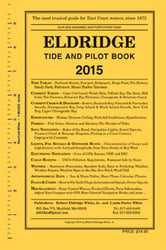
Eldridge Tide Book is the go-to reference for East Coast mariners. The Eldridge Tide and Pilot Book covers tides and currents for ports from Nova Scotia to Key West, and has often been referred to as the mariner's bible — published for over 150 years, it gives boaters valuable information on GPS and electronic navigation, marine weather, federal regulations, navigation rules, coastal piloting tips, and emergency first aid. As a backup for electronics, Eldridge is a vital reference that no serious coastal cruiser or angler should be without.
Humminbird brings the same innovation that defines their fish finder lineup to their chart card offerings. Based on freshwater data from LakeMaster and NOAA — the most trusted saltwater source — these accurate maps provide a clear view of underwater terrain. Their CoastMaster chart line delivers unrivaled nearshore and offshore fishing performance and gives access to a wealth of marine maps and data to make your next trip safe and successful. Using predictive software, CoastMaster allows you to plan your fishing day with tidal direction and height, as well as the speed and direction of currents.
Printed Maps vs. Digital Chart Cards
Both formats have an important role on board. Printed maps from brands like Fishing Hot Spots are ideal for pre-trip planning, sharing with fellow anglers, and as a fail-safe backup when devices run low on battery or encounter technical issues. Digital chart cards from Humminbird integrate with your fish finder for real-time, on-the-water navigation, depth highlighting, and route planning. Many experienced boaters keep both on hand — using digital charts for active navigation and printed maps for research and contingency planning. The Eldridge Tide Book occupies a unique space as an annual reference volume, providing tide tables and current charts that are invaluable for passage planning along the Atlantic Coast.